


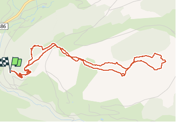

10 km | 14.1 km-effort


User


FREE GPS app for hiking
 SityTrail
IGN / Geographical institutes
SityTrail World
The world is yours!
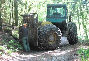
Trail On foot of 6.4 km to be discovered at Grand Est, Vosges, Le Ménil. This trail is proposed by margotte.
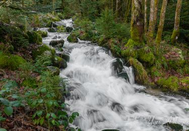
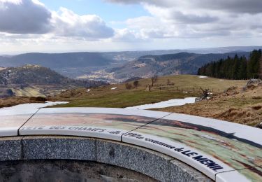
Belle montée à travers les parc. La saison le permet, il n'y a pas d'animaux en pâture. Un beau site pour admirer un coucher de soleil

Walking

Snowshoes

Mountain bike
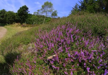
Walking
On foot

On foot
On foot
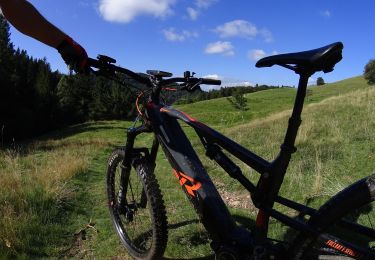
Mountain bike
Mountain bike